Accessing the Inaccessible

LASER CMS MAPPING

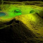
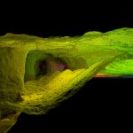
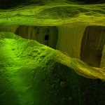
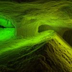
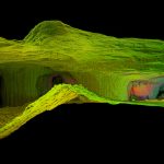
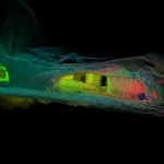
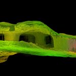
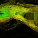
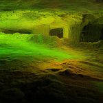
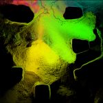
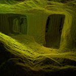
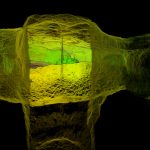
We offer high density laser scans of:

Stopes

Drifts

Sump Areas

Plants

Waste/Ore Pass

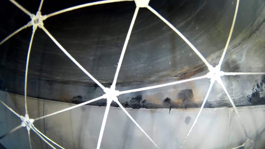
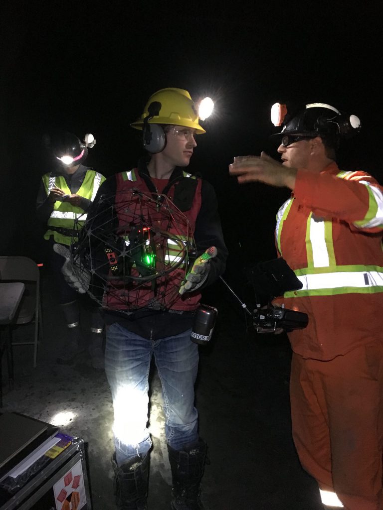
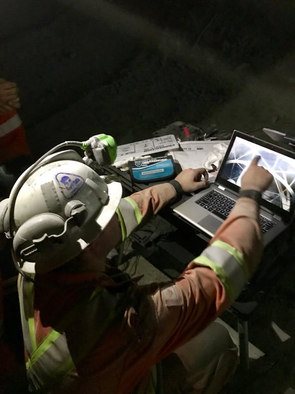
In Partnership with Emesent, the developers of the industry leading Hovermap 3D LiDAR- mapping and autonomy payload for industrial drones. UAS Inc. has the ability to fly and map challenging underground, indoor and outdoor GPS-denied environments, without the need to send people into potentially hazardous areas.

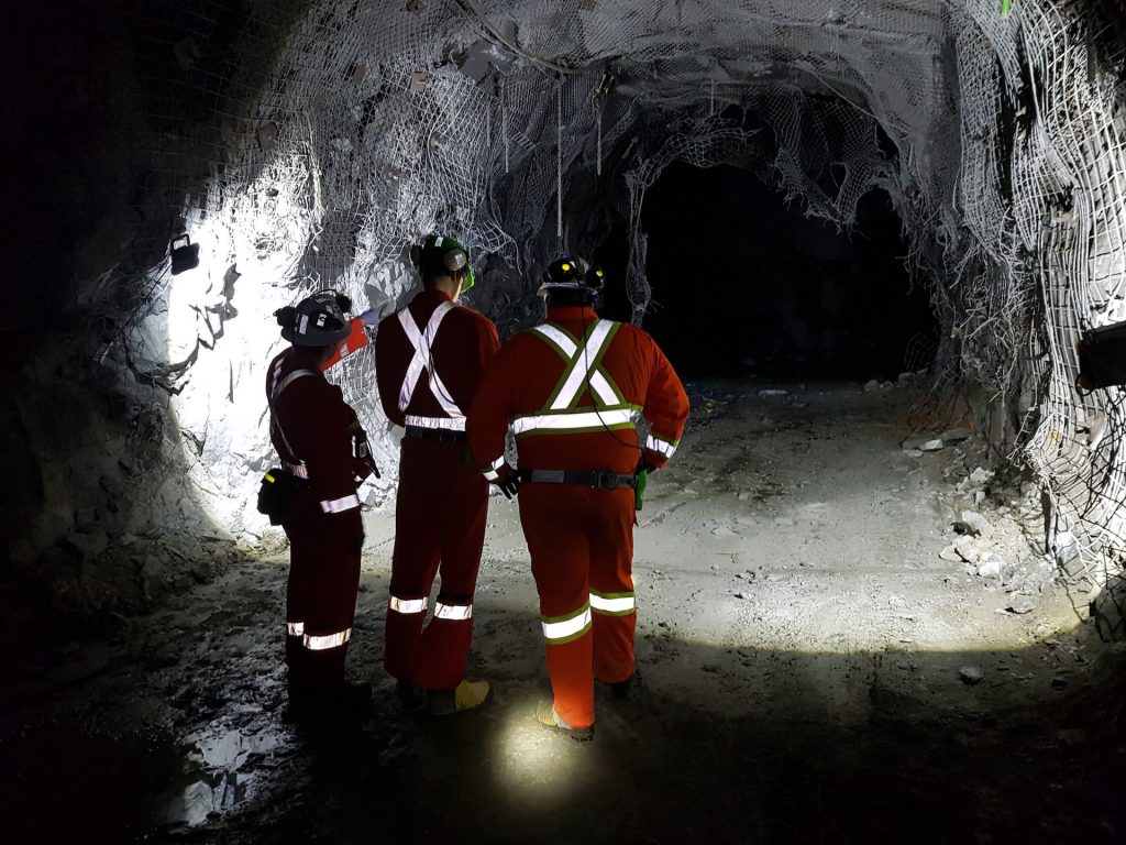
Efficient mine planning and operations require a thorough understanding of the underground environment. 3D survey data is used to reconcile post-blast stope shapes to the design, monitor drive development progress, analyze rock structures to determine ground stability and a host of other applications.

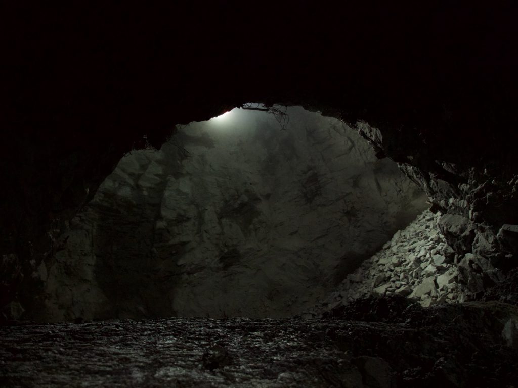
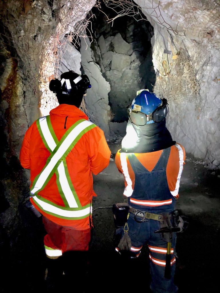
Obtaining this data is challenging, time consuming and potentially dangerous using existing survey techniques. In many cases it simply isn’t possible to collect the necessary data because the areas are inaccessible.

By utilizing the Hovermap Payload UAS Inc is able to provide mining operations with a safe and efficient alternative that enables data collection in previously inaccessible areas.
SLAM-based LiDAR Mapping

Efficient mine planning and operations require a thorough understanding of the underground environment. 3D survey data is used to reconcile post-blast stope shapes to the design, monitor drive development progress, analyze rock structures to determine ground stability and a host of other applications.

Obtaining this data is challenging, time consuming and potentially dangerous using existing survey techniques. In many cases it simply isn’t possible to collect the necessary data because the areas are inaccessible.

By utilizing the Hovermap Payload UAS Inc is able to provide mining operations with a safe and efficient alternative that enables data collection in previously inaccessible areas.
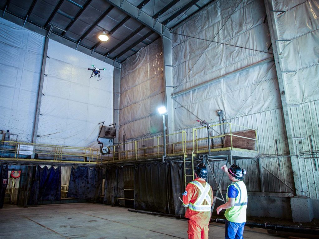
training

World-class Mines and Industry, understand technology is paramount to their success.

Industry leaders must be safer, smarter and more versatile when it comes to the rapid advancements in the tech field.

Unmanned Aerial Services Inc was built with your operations future in mind.

If what you are looking to have inspected is not on our list feel free to contact us. We are always looking to advance our scope of work and provide our clients with the most detailed information we can provide

BARRICK-GOLD-logo

“In my role as Program Director, Innovation in Barrick Gold's corporate office, I was the Corporate representative on the team evaluating the viability and usefulness of underground (UG) drones. The evaluation included on-site, underground demonstrations by 6 different groups, ranging from a NASA-backed start-up and University of Nevada, Reno research group, to a number of commercial drone companies offering UG drone services.


The only group that met, and delivered beyond our expectations was Unmanned Aerial Services (UAS). Their technology, the Elios and Emesent drones, combined with the extensive experience and knowledge of their team, especially Matt MacKinnon, were far superior to the other solutions we looked at and UAS is now working for Barrick on a regular basis.”

Iain Allen

Former Program Director
Innovation, Barrick Gold.
file-6

“Will from UAS Inc. was fantastic. He prepared us to use the Elios for our work and he continues to provide support for us by giving us advice, and recommendations.”

Kadin Choi

Andrews Engineer Representative

“The team at UAS Inc, combined with their real-world training facility, truly made for practical, hands-on training. The scenarios that they put students through gives great opportunity to learn techniques to get the most out of the Elios product. I would highly recommend UAS to anyone who wants the better their skills and be put through real life scenarios within the safety and comfort of the training facility.”

Jimmy Bartolucci